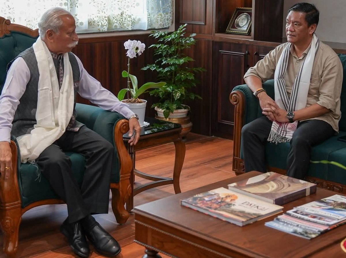
Arunachal Pradesh Governor KT Parnaik has emphasised that Geographic Information System (GIS) technology should become a key foundation of governance in the state to support informed decision-making, efficient public services and sustainable development.
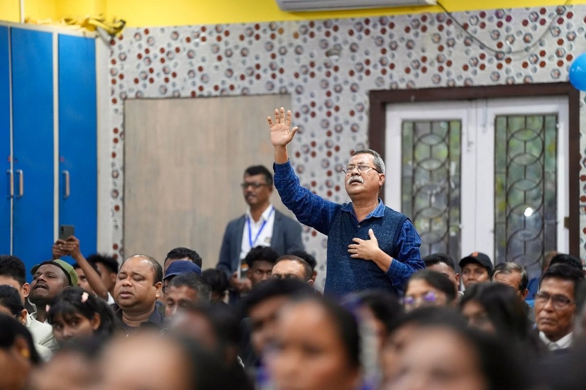
Addressing the ‘Geo Vision Itanagar’ seminar organised by Esri India, the Governor highlighted the state’s challenging geography, including mountainous terrain, dense forests, scattered settlements and international borders, which require innovative technology-based solutions. He said geospatial intelligence is not merely a technological tool but an essential instrument for effective governance.
The Governor called for the creation of a state geospatial governance platform integrating data from departments such as Revenue, Planning, Rural Development, Public Works, Forest, Agriculture, Disaster Management and Power. He said a unified GIS ecosystem would improve coordination, prevent duplication and support evidence-based policymaking.
Parnaik identified land management, infrastructure development, disaster preparedness and climate resilience as key areas where GIS can play a transformative role. He stressed the need to accelerate GIS-based land surveys, digital land records and the implementation of the Unique Land Parcel Identification Number (ULPIN) system. He also highlighted the potential of emerging technologies such as GeoAI, digital twins, drone mapping and mobile GIS in improving project monitoring and public service delivery. The seminar featured discussions on applications of geospatial technology in agriculture, healthcare, forestry, disaster management and border development. The Governor urged all stakeholders to adopt data-driven governance and use GIS as a tool for transparency, accountability and inclusive growth towards a future-ready Arunachal Pradesh.